

Residential Land Surveying in Oregon City, OR
Property decisions are easier when you know exactly where your land begins and ends. At Township Surveys, our residential land surveyor team helps homeowners, buyers, builders, and property owners get clear, accurate information before they build, sell, divide, or improve a parcel. We have served the area since 1972, giving us decades of experience with local terrain, older plats, hillside properties, and Clackamas County requirements. From a property line survey to foundation checks and elevation documentation, we provide precise results with practical guidance you can use confidently.
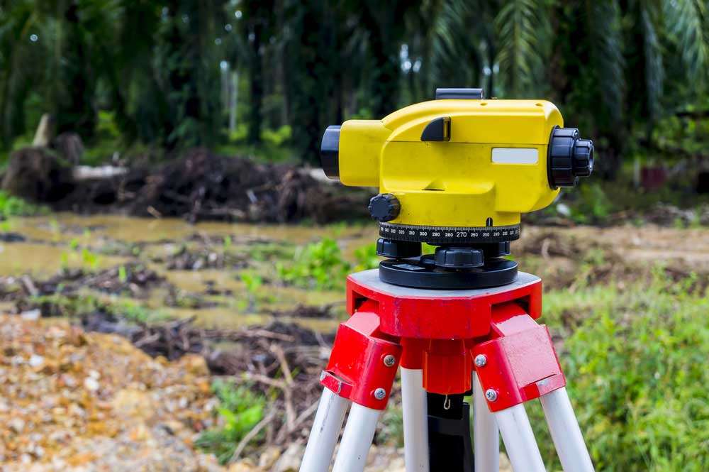
Protect Your Property Before Problems Develop
A land survey is more than a set of measurements. It protects your investment by identifying legal property limits and revealing potential issues before they become expensive.
Fences, sheds, driveways, retaining walls, landscaping, and additions are not always placed where owners assume the boundary lies. An encroachment may remain unnoticed for years until a property is sold, improved, refinanced, or involved in a neighbor dispute.
A professional survey can help you:
- Confirm the legal limits of your parcel
- Identify possible encroachments
- Plan a fence, garage, addition, or accessory structure
- Prepare for a real estate transaction
- Support a permit or planning application
- Divide or adjust property
- Resolve uncertainty between neighboring owners
- Protect against costly construction mistakes
We combine recorded information with careful field measurements so you receive a reliable picture of the land you own.
Property Line Surveys and Boundary Research
A property line survey determines the location of a parcel’s legal boundaries. We research available deeds, plats, previous surveys, monuments, and other relevant records before completing fieldwork.
Our boundary survey process may include locating existing markers, measuring the parcel, comparing field evidence with recorded documents, and identifying inconsistencies that require further evaluation. Because many neighborhoods include older lots or boundaries established under earlier surveying methods, local knowledge can be especially important.
We do not simply rely on a fence line, hedge, or assumption. Our work is based on professional research, physical evidence, modern equipment, and established surveying practices.
Lot Line Staking for Fences and Improvements
If you are planning a fence, landscaping project, driveway, shed, or other improvement near the edge of your parcel, lot line staking can help you avoid building in the wrong place.
We mark surveyed boundary locations so you and your contractor can see where the property limits are on the ground. Clear staking provides a practical reference during planning and construction.
This service is often useful before:
- Installing a new fence
- Replacing an existing fence
- Building a detached garage
- Adding a shed or workshop
- Constructing a retaining wall
- Extending a driveway
- Completing major landscaping
- Discussing a shared boundary with a neighbor
Starting with accurate information can prevent disputes, redesign costs, and removal of improvements that cross onto another parcel.
Helping Neighbors Resolve Boundary Questions
Boundary uncertainty can create stress between neighbors, especially when both parties believe a fence, tree line, or driveway marks the legal limit. A neutral survey can replace assumptions with documented facts.
Our role is to measure and explain the property evidence accurately. We approach these situations professionally and respectfully, helping owners understand what the survey shows without adding unnecessary tension.
When a matter becomes more complicated, Township Surveys can also assist with land disputes and serve as an expert witness when appropriate. Our long regional history gives us valuable experience reviewing older records and explaining technical findings clearly.
A survey cannot guarantee that every disagreement will disappear, but it can give all involved parties a dependable foundation for moving forward.
Foundation Surveys for Residential Construction
A foundation survey confirms the position and elevation of a new foundation before construction proceeds too far. This helps determine whether the structure has been placed according to approved plans, setbacks, and site requirements.
Discovering a placement problem early is far better than finding it after framing or other major work has been completed. Our foundation survey services support homeowners, builders, contractors, and project teams that need timely, precise information during construction.
We understand that construction schedules move quickly. Because we are locally based, we can often provide more responsive service and faster turnaround than a company unfamiliar with the area.
Property Divisions and Boundary Adjustments
Dividing or modifying a parcel involves more than drawing a new line. The process may require research, field measurements, legal descriptions, mapping, and coordination with local planning requirements.
We assist with property division, boundary adjustments, and related land measurement needs. Our team understands that each parcel has different constraints, including access, utilities, zoning, slopes, existing structures, and recorded easements.
Our experience with land mapping in Oregon City helps us identify practical concerns early and prepare accurate information for the next stage of the process. We explain what the surveying work involves and help property owners understand how local conditions may affect the project.
Elevation Certificates and Topographic Information
Properties near waterways, low-lying areas, or changing terrain may require reliable elevation data. An elevation certificate documents specific elevation information about a structure and its relationship to mapped flood conditions.
This documentation may be requested for flood insurance, lending, construction, or property planning. We also perform topographic surveys that show ground elevations, visible improvements, and other site features.
Oregon City includes river-adjacent properties, established neighborhoods, steep slopes, wooded parcels, and land with significant elevation changes. Accurate topographic information can be critical when planning drainage, grading, construction, or site improvements.
Modern Technology Backed by Decades of Experience
Township Surveys has been based locally since 1972. We pair that long-standing regional knowledge with current surveying technology to provide fast, precise information.
Our residential services include:
- Property boundary surveys
- Lot and property line staking
- Foundation surveys
- Topographic surveys
- Property divisions
- Boundary adjustments
- Mortgage surveys
- Elevation certifications
- Land dispute support
- Expert witness services
Technology helps us collect and process data efficiently, but equipment alone does not replace professional judgment. Our experience helps us interpret records, recognize conflicting evidence, and understand how historic development patterns may affect a modern survey.
Local Service Throughout Clackamas County
We work with property owners throughout Oregon City and neighboring communities across Clackamas County. Our familiarity with local development, terrain, recorded plats, and jurisdictional expectations can streamline research and reduce avoidable delays.
Whether you own a historic residential lot near downtown, a hillside parcel, a newer subdivision property, or a larger piece of land outside the city center, we tailor the survey to the site and your reason for needing it.
Frequently Asked Questions
Get Clear Answers About Your Property
Before you build, divide, sell, or challenge a questionable boundary, make sure your decisions are based on accurate information. Township Surveys brings more than five decades of local experience to every residential project, along with modern equipment and a careful understanding of regional records and regulations. We help homeowners protect their investment, avoid encroachments, meet planning requirements, and handle neighbor concerns with facts rather than assumptions. Contact our land surveying company today to discuss your parcel, request a survey, and get dependable guidance from a local company serving property owners since 1972.